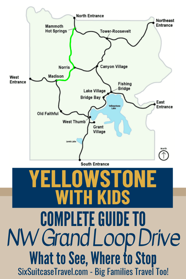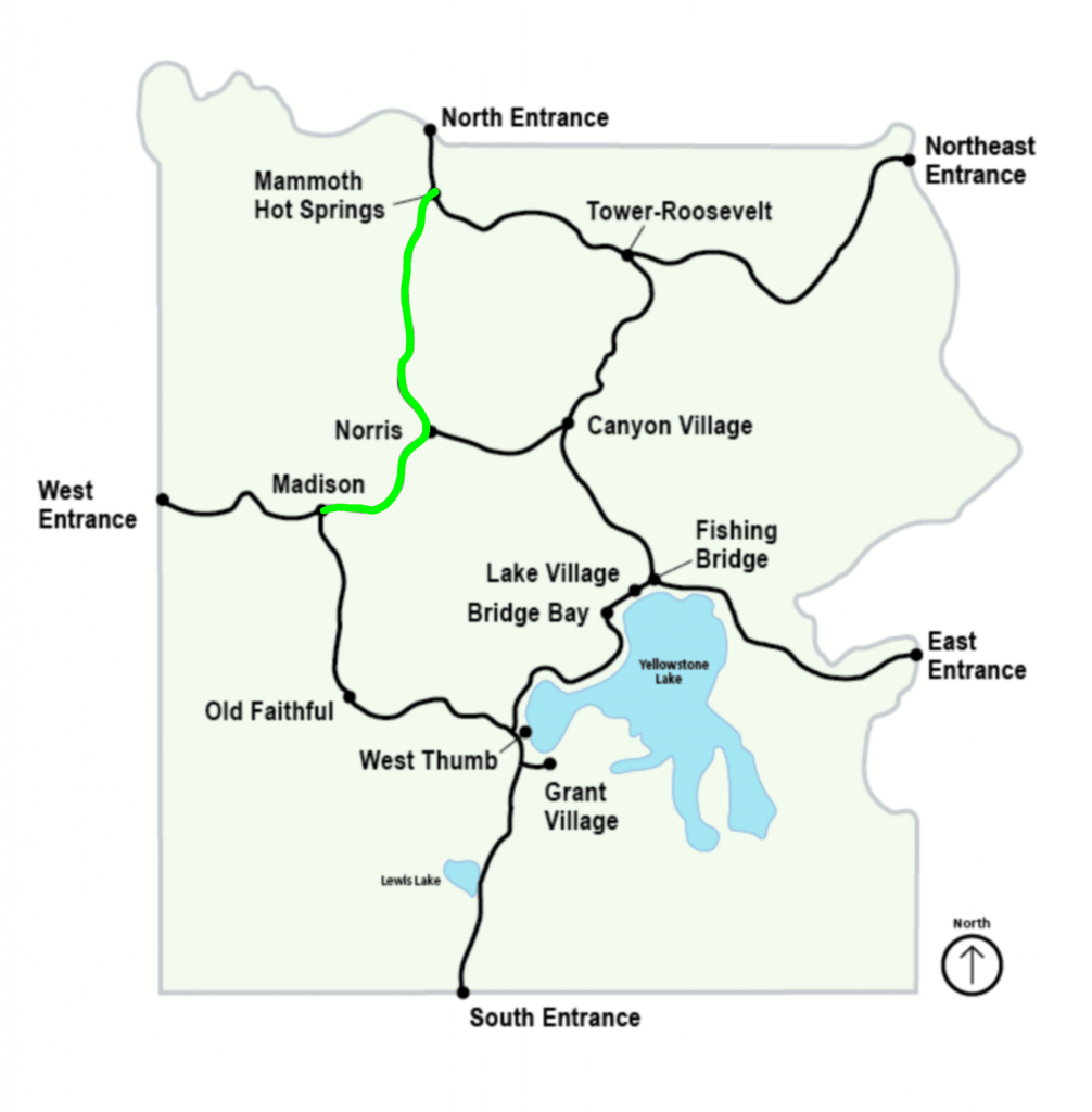
Exploring Madison to Norris to Mammoth Hot Springs
Though Madison to Mammoth Springs may be a little shorter of a journey than the previous route we detailed, by no means does it have any less natural beauty to behold along the way. A little under 36 miles separate the two locales, but to help you make the most of your quest between the two, we’ve listed all the major points of interest along the way. Each of this road segment’s highlights is listed consecutively from point to point, so you can decide which ones your family will want to do and use it as a guide in the park. We’ve bolded the stops we greatly enjoyed.
Yellowstone Northwest Segment Highlights
Madison to Norris Geyser Basin
- Start at Madison, and work your way up north to Mammoth Hot Springs. Amenities at Madison include a campground, restroom, and information station.
- Terrace Spring Trailhead makes for a short 0.2-mile loop boardwalk to a small thermal area
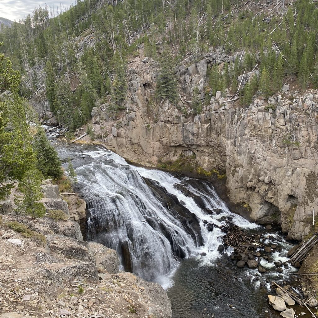
- Gibbon Falls drops 84 feet and makes for a popular stop
- Monument Geyser Basin Trailhead is a steep 2.4-mile RT trail to a small thermal basin
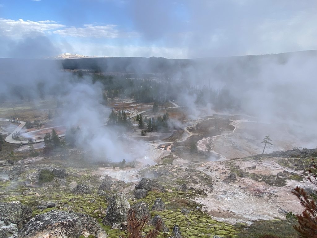
- The Artists Paint Pots can be seen along a .6-mile trail featuring geysers, vents, and mud pots
- Duck Rock and Chocolate Pots showcase a balancing rock in the middle of Gibbon River with small cascades and waterfalls along the path. Chocolate Pots are located at the south end of the parking lot, walk to the river and see the Chocolate Pots across the river
Exploring Norris Geyser Basin
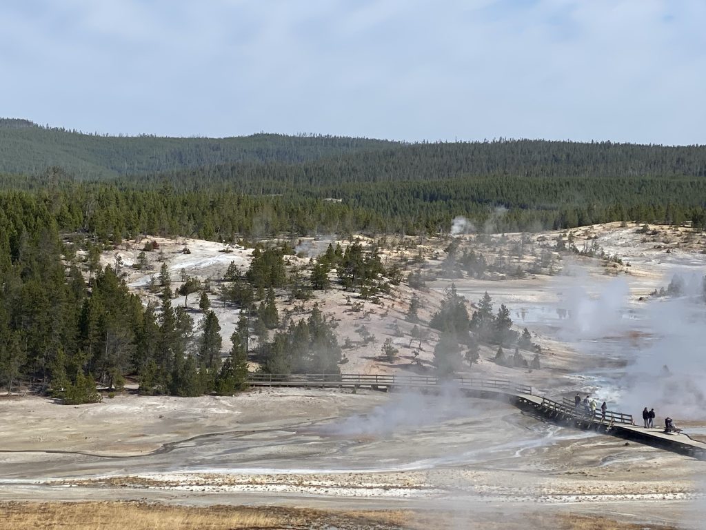
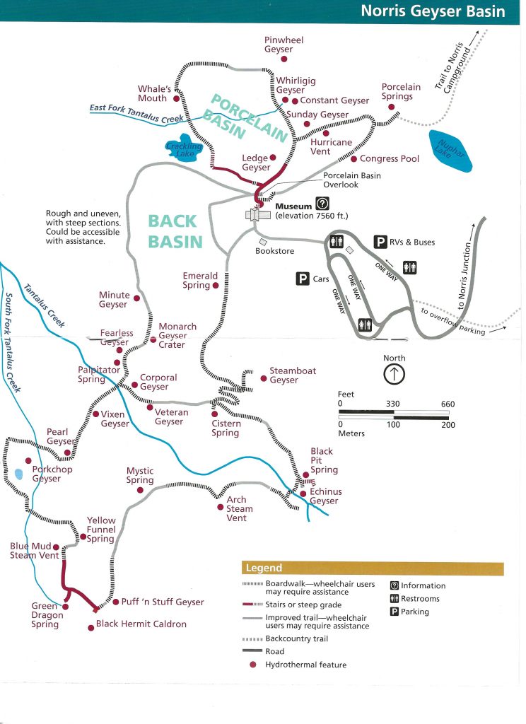
- Norris Geyser Basin is split between the Back Basin and the Porcelain Basin, both with easy access to their geysers and with restrooms in the parking lot. Every year new hot springs and geysers appear while others become dormant. Norris is one of the hottest and most acidic of Yellowstone’s hydrothermal areas. Each spring and geyser has its own features and uniqueness.
Norris Geyser Basin to Mammoth Hot Springs
- The Museum of the National Park Ranger Overlook is a .6 miles self-guided trail on sidewalks, with 9 stops and exhibits describing life in Fort Yellowstone between 1886-1918, when the US Army administered the park
- Frying Pan Springs is a fairly recently developed hot spring, with spots of gas escaping moist soil in what looks and sounds like grease sizzling on a hot frying pan
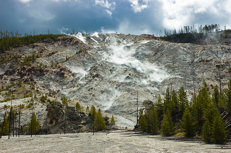
- Roaring Mountain really just hisses these days, but still makes plenty of noise from thermal activity.
- Clear Water Springs includes a wheelchair-accessible boardwalk across its meadows and Obsidian Creek.
- Grizzly Lake Trailhead is roughly 3.6 miles round-trip through meadows and switchbacks toward Grizzly Lake.
- Obsidian Cliff offers plenty of information about the area’s obsidian volcanic glass
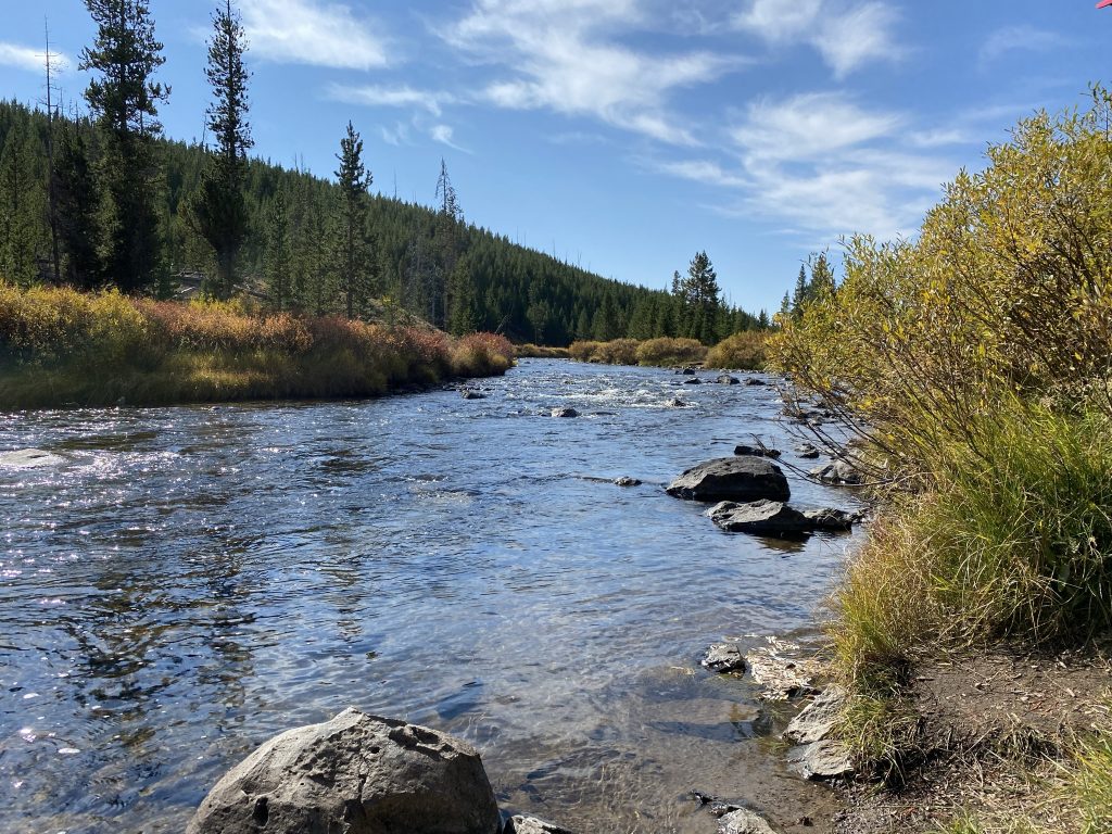
- Sheepeater Cliff Trailhead has a narrow gravel road leading to a small parking lot with vault toilets. The path allows you to travel along the river about 600 yards to Tukuarika Falls, and although the trail isn’t well marked, it continues through to more cliffs and falls.
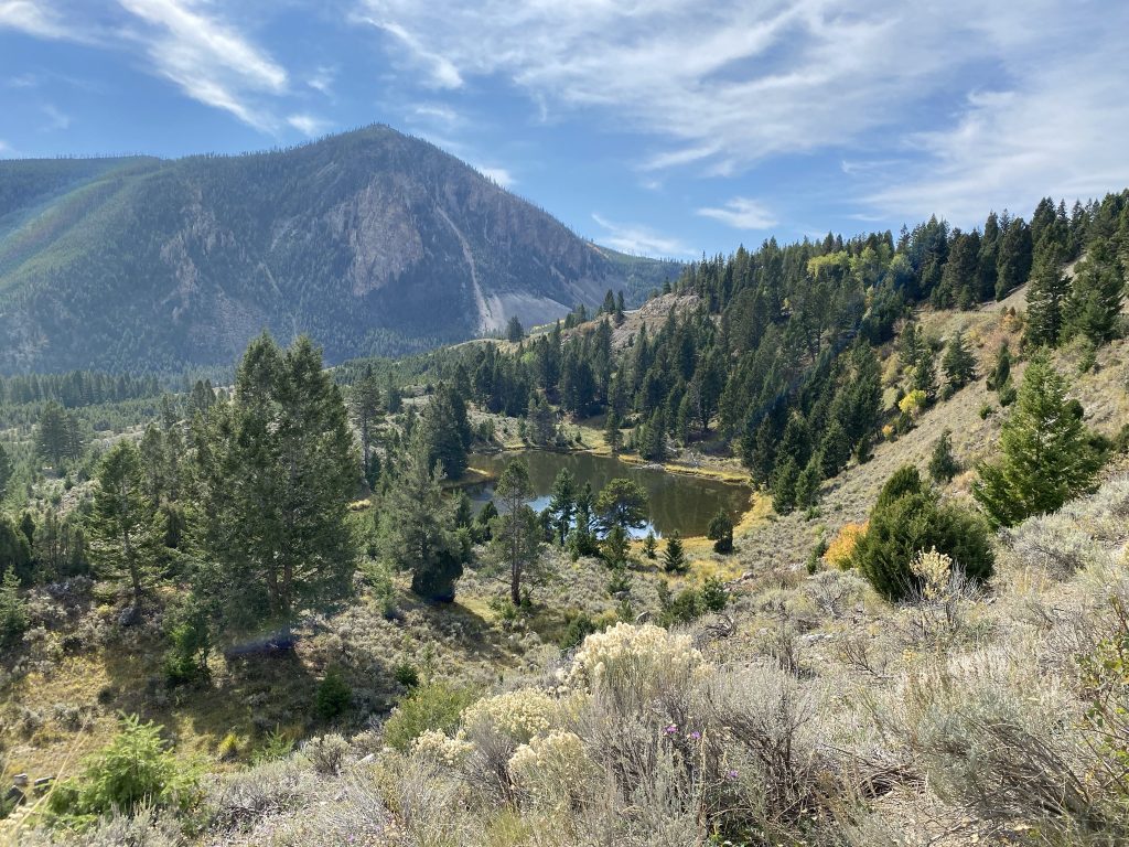
- Bunsen Peak Trailhead hikes to Bunsen Peak along 2.1 miles, or alternatively to Osprey Falls across 4.6 miles.
- Glen Creek Trailhead has access to Howard Eaton Trail (6.3 miles), Fawn Pass Trail (22 miles), Snow Pass Trail (2.4 miles), Sepulcher Mountain Trail (11.2 miles), and the Cache Lake Trail (11.8 miles).
- Rustic Falls and the Golden Gate Canyon – when traveling in this direction. Pull over on the second pull-out to see the falls behind you near the road.
- Bunsen Peak pullout. When traveling in this direction, the first pullout after the guardrail on your right is a fantastic stop for pics.
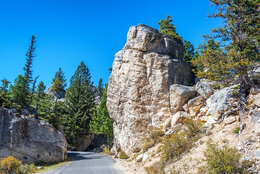
- Just south of Mammoth Hot Springs are the park’s Hoodoos, take the short one-way Silver Gate drive through large travertine boulders that were named incorrectly in the park’s early years.
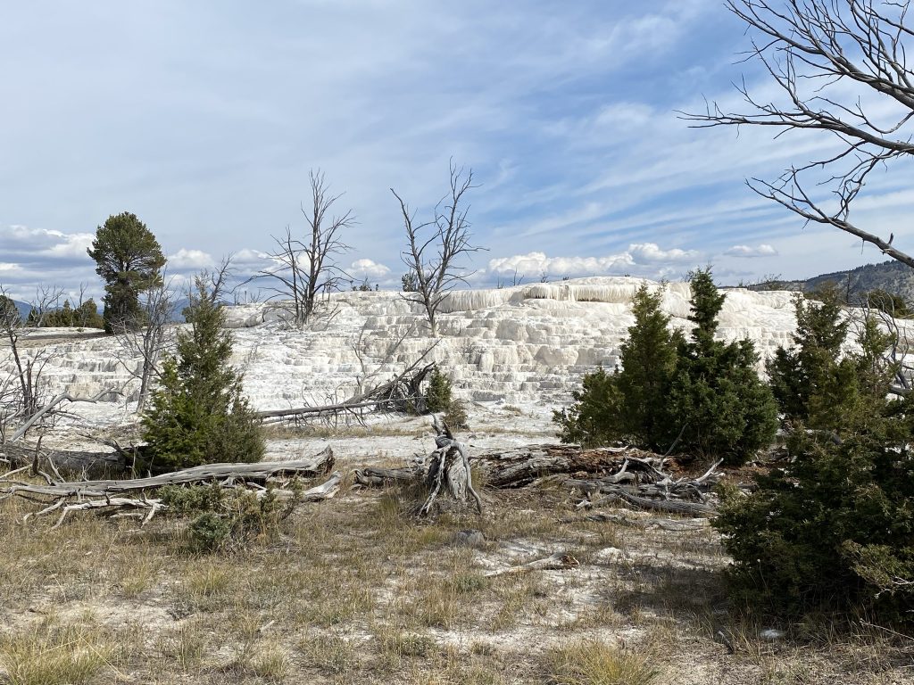
- Upper Terrace Drive is a one-way drive to view 5 terraces and 2 springs. The Overlook parking lot is closer to the entrance and smaller than you think when looking at the map
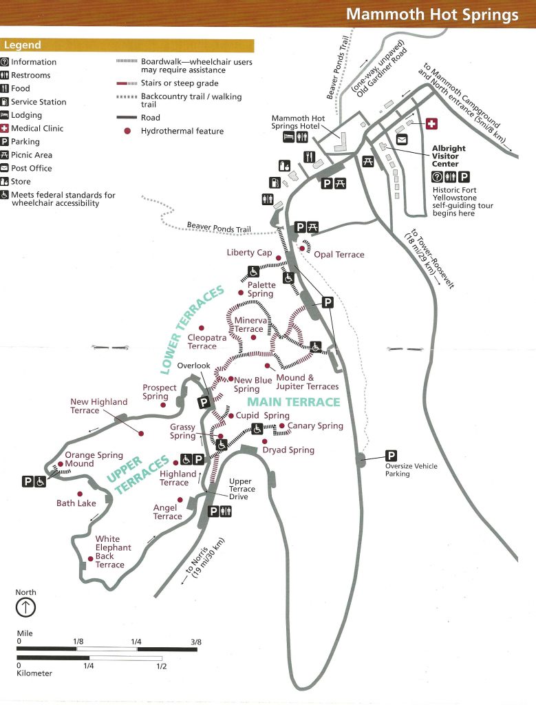
Exploring Mammoth Hot Springs
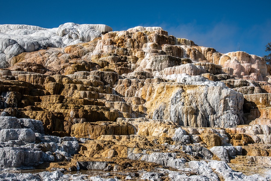
- Explore the Lower Terraces and Main Terrace. Walk the boardwalks that meander through the terraces which are living sculptures. The terraces are continuously shaped by the volume of water, the slope of the ground, the vents, springs, and objects in the water’s path.
- Take a break at the Albright Visitor Center. Learn about how the park was formed and the people who helped shape it.
- Walk the Historic Fort Yellowstone self-guiding tour. The first buildings were built by 1891. In 1909 stone masons built seven buildings using stone from a quarry between Gardner River and the Mammoth Campground. The US Army had a 32-year presence in the park building roads and protecting park resources.
More Yellowstone Trip Planning Information
- Yellowstone Guide to SE Grand Loop – Grant Village to Bridge Bay to Lake Village to Fishing Bridge to Canyon Village
- Yellowstone Guide to SW Grand Loop – West Thumb to Old Faithful to Madison
- Yellowstone Guide to NW Grand Loop – Madison to Norris to Mammoth Hot Springs
- Yellowstone Guide to NE Grand Loop – Mammoth Springs to Tower-Roosevelt to Canyon Village
- Guide to Yellowstone’s 5 Entrance Roads – What to See and Where to Stop
- Guide to Yellowstone’s 5 Entrances
- Where to Stay and Eat Inside Yellowstone with Kids
- Yellowstone National Park Guide with Kids – Itineraries, Maps, and 20 Tips for Visiting
- 12 Stunning Scenic Yellowstone Drives
- 12 Fabulous Yellowstone Waterfalls with Little to No Hiking
Pin now for later!
